Adequate foundations need to be laid in order that the recommended research strategies can be implemented. The following recommendations have emerged from discussions with stakeholders and are regarded as essential prerequisites for the successful application of the research strategies discussed on the following pages.
1.1 Planning briefs in advance of development: ensure that curatorial recommendations for the recording of archaeological sites, historic buildings, etc. are consistent across the region.
1.2 Standards and guidelines: ensure recommendations of appropriate subject and period groups are taken account of and adhered to.
1.3 Dating: audit of radiocarbon dates to be pursued for all periods[1]; Bayesian statistical modelling to be encouraged, together with training in the application of Bayesian analysis of radiocarbon dates and other scientific dating techniques[2].
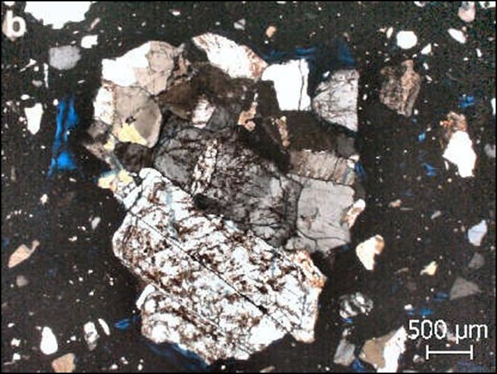
1.4 Artefacts: further work to be conducted on the classification and dating of finds for all periods (particularly radiocarbon dating of carbonised accretions on pottery); encourage the development of ceramic type series and their dissemination as online resources; facilitate synthetic studies by promoting the inclusion of finds drawings or photographs as standard components of archive as well as published reports; promote the use of scientific techniques to investigate changes in technology, production, use, etc. (including lipid analysis of ceramics and compositional analysis of pottery, metals, glass, organic artefacts and other materials)[3].
1.5 Building materials analysis: encourage the use of scientific techniques of materials analysis (e.g. mortar and stone or architectural paint analyses) and explore further the potential of optically stimulated luminescence and other scientific dating techniques for the dating of bricks and mortar[4].
1.6.Monuments: further refinements of monument classifications to be developed.
1.7 Blank areas: resources to be focused upon investigating areas with little or no archaeological data.

1.8 HLC and LCA: Historic Landscape Characterisation and Landscape Character Assessments to be regionally compatible, current and readily accessible.
1.9 Built environment: provide assessments of built environment resources that are currently poorly understood, and ensure full integration in historic environment research of the archaeological and built environment resource
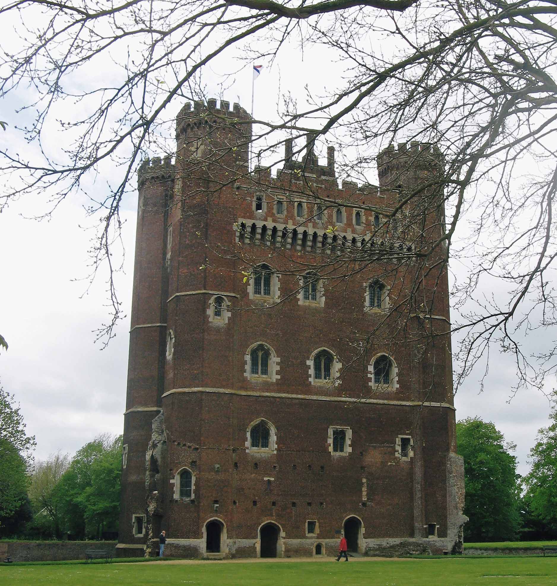
1.10 Building survey: encourage the development of laser technology and modern photogrammetry for the high-definition surveying of historic buildings and develop 3D visualisation techniques for dissemination.
1.11 Site location and survey: maximise the value of the air photographic record by continued air photo mapping[5] and investigate further the effectiveness of remote sensing techniques; encourage the use in site prospection of innovative terrestrial and offshore geophysics, airborne lidar, multispectral and hyperspectral imaging and ground-based scanning techniques[6].

2.1 Historic Environment Records (HERs): improve long-term maintenance of the existing resource, ensure regular updating of records and enhance accessibility (including the provision of on-line resources)[7].
2.2 Grey literature: improve the accessibility of this rich body of evidence to historic environment stakeholders by encouraging and supporting the addition of digital reports to the Archaeological Data Service, County HERs and other websites.
2.3 Geographical Information Systems (GIS) mapping: encourage the preparation and web publication of period and thematic maps derived from HER data.
2.4 Backlog investigations: unlock this information through further analysis and conventional paper or digital publication; archives should be made available on-line wherever possible.
2.5 Portable Antiquities Scheme: enhance access to information on finds recorded by this scheme.
2.6 Academic studies and research: encourage the submission to HERs of the results of this work in order to enhance their potential as research resources.
2.7 Online AccesS to the Index of archaeological investigationS (OASIS): ensure that the requirement for OASIS entries is specified in project briefs, costed by all tendering organisations, and submitted prior to the completion of each project. It is recommended that the OASIS database be expanded to ensure inclusion of the Research Objectives addressed by each project, thereby facilitating monitoring of progress on the Research Strategy.
2.8 Archaeological Data Service (ADS): further enhance the representation of East Midlands studies, including supporting digital data, and ensure that information from the region may be easily accessed.
3.1 Local journals: lists of contents and contributions to be made available on-line.
3.2 Publication: explore the options for creating a regional publishing medium for archaeological reports.
3.3 Regional bibliography: an East Midlands bibliography, building upon that prepared as part of this regional Research Framework, should be made available on-line and maintained as a long-term research resource.
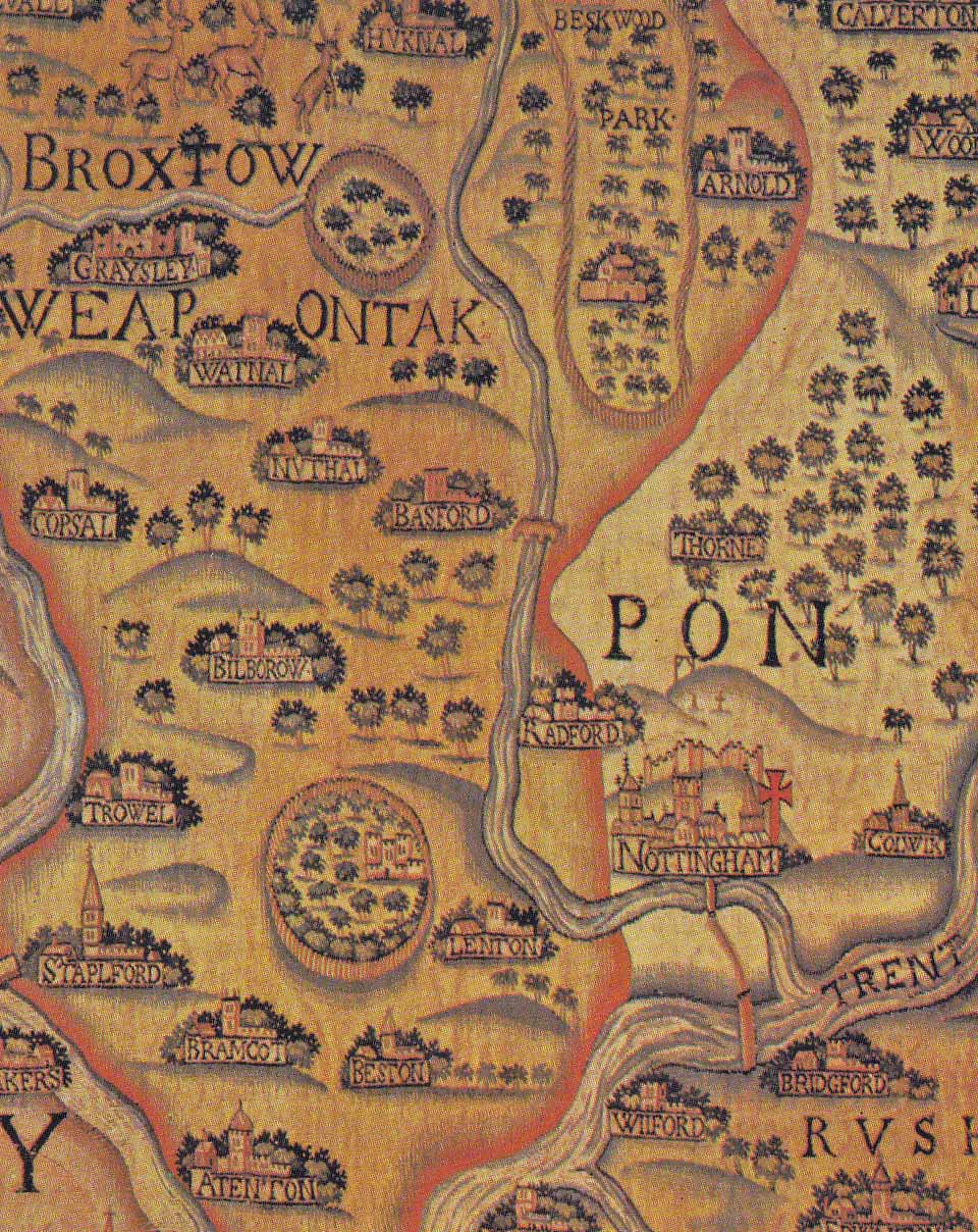
3.4 Enhance accessibility of historic maps: catalogues of maps and digital copies to be provided on-line (and added to GIS databases) where possible.

4.1 East Midlands Forum: an annual meeting for all stakeholders has been recommended as a forum for reviewing progress on the Strategy and reporting on new research projects.
4.2 Voluntary bodies: societies and volunteers should be kept fully aware of research work and should be closely involved in research projects.
4.3 Exhibitions: museum and travelling exhibitions of recent research work should be encouraged, enhancing the dissemination of knowledge.
4.4 Volunteer projects: establish minimum standards for fieldwalking to ensure the recovery of comparable data.
4.5 Closer liaison between stakeholder groups: encourage more dialogue between curators, academics, contractors, consultants and the voluntary sector, and forge closer links between diverse academic disciplines
4.6 Recognise and enhance the central research role of HERs: encourage the involvement of HERs in the development of research programmes and the enhancement of HER data through research projects aimed at upgrading existing data (e.g. character and date of lithic scatters).
5.1 Ensure full integration of environmental research with other site work (including analyses of soils and deposits, plant remains, animal bones and invertebrates)[8].
5.2 Maintain a regional environmental database. It was noted in the 2012 publication that regional research would benefit significantly from the provision of an up-to-date and comprehensive database listing published and unpublished reports and archaeobotanical and zooarchaeological datasets for the East Midlands. This, it was suggested, could build upon existing databases, including the list of sites prepared as part of the East Midlands Resource Assessment and Research Agenda[9], current Historic England guidelines for the collection and analysis of palaeoenvironmental data and regional reviews of wood, microscopic wood charcoal and other environmental data[10]. Historic England has since provided funds, during preparation of this interactive digital resource, for the creation of such a resource. This environmental database can be accessed here, and we welcome input from stakeholders on projects that have yielded new environmental data.

5.3 Encourage regional syntheses of environmental data[11].
5.4 Ensure better access to national and regional environmental reference collections and digital resources

5.5 Enhance Historic Environment Records by ensuring the incorporation of information on environmental data. Guidelines would need to be agreed on the level of documentation, but as a minimum we recommend inclusion of information on the range of samples collected, specialist analyses and information on the location of the reports, datasets and material that has been retained.
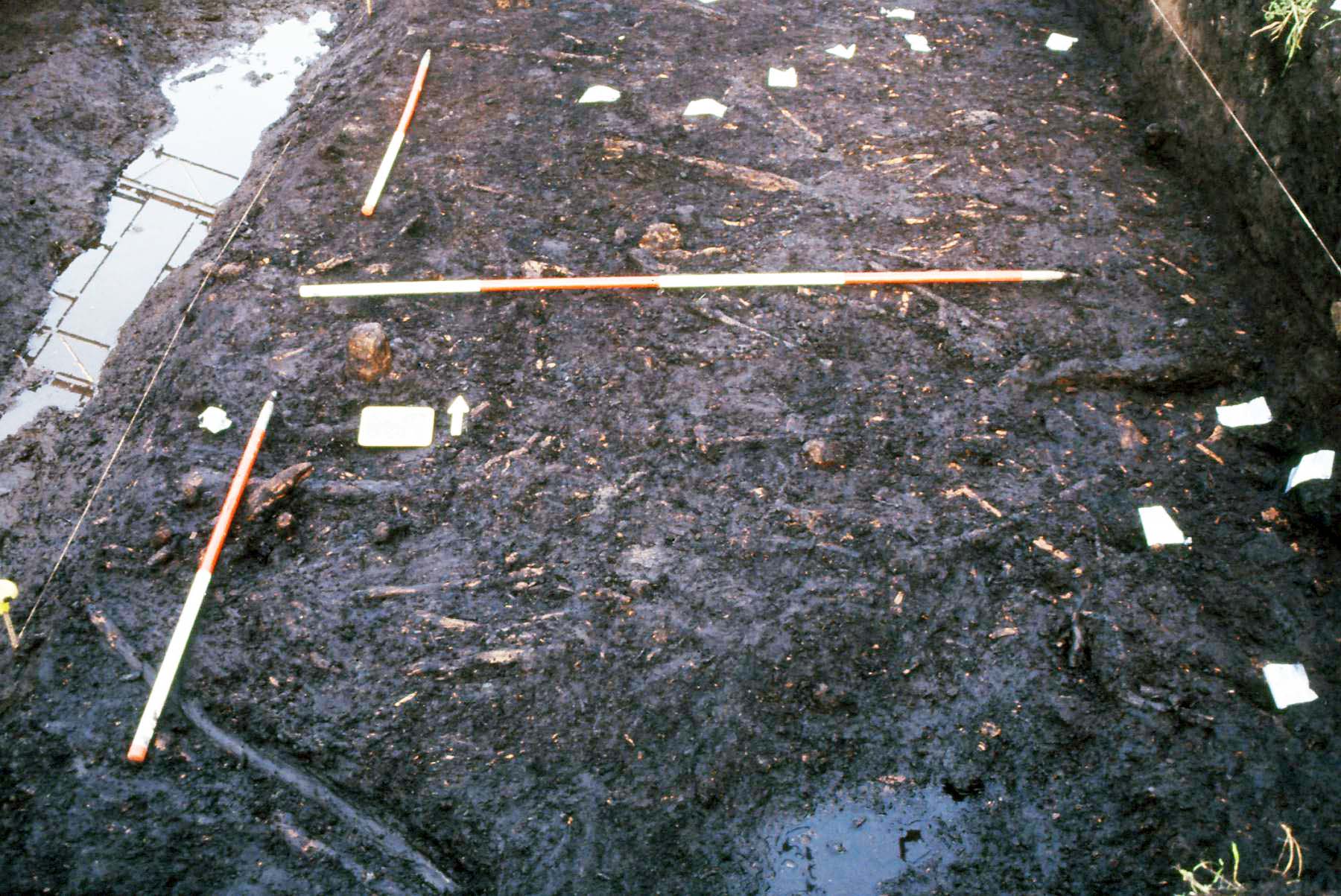
5.6 Ensure consistent implementation of systematic on-site sampling of feature fills, soils, sediments and organic deposits[12] and of off-site locations such as palaeochannels, upland peat bogs, lowland lakes and meres. This should improve understanding of the palaeoeconomy and the local and regional landscape.
5.7 Ensure that sufficiently large samples are taken for effective analyses of environmental samples, and in particular for the statistical analysis of animal bone assemblages[13].
5.8 Recognising that generic sampling strategies can fail to address specific research issues and can be too broad to interrogate satisfactorily the information from specific sites, develop period-specific regional, local and site-based strategies that may be modified further in the light of individual site circumstances.
5.9 Further characterise the environmental signature of key periods of change, including the Mesolithic-Neolithic transition, the Late Iron Age to early Roman era and the early post-Roman period.
5.10 Obtain data that may elucidate historic environment change and permit monitoring of on-going climate change.
5.11 Encourage studies of the environmental impact of Modern and earlier industrial activity.
5.12 Assess from lidar and other sources the regional palaeochannel resource, and develop and maintain a palaeochannel database to inform future research and management. This could usefully build upon the palaeochannel database prepared on behalf of Trent Valley GeoArchaeology[14].
5.13 Encourage mapping of Pleistocene and Holocene landscapes, including the submerged landscapes of Doggerland.
5.14 Further research past climatic variability (e.g. from studies of dated palaeochannel fills) as a background to studies evaluating the potential impact of future climate change upon the historic environment resource.
5.15 Ensure systematic recovery of freshwater and marine fish bones for all periods to redress their currently poor representation in the archaeological record.
5.16 Encourage stable isotope analyses of human bones to study variations in diet and population movements and of plants and animals to investigate issues such as manuring practices and seasonal movements of animals[15].
5.17 Encourage further DNA analyses of human remains to elucidate the genetic relationships between individuals (e.g. in cremation cemeteries)[16].
References
[#1] As developed in a wider European context for the Palaeolithic (Radiocarbon Palaeolithic Europe Database, version 12: http://ees.kuleuven.be/geography/projects/14c-palaeolithic/index.html)
[#2] e.g. dendrochronology and optically stimulated luminescence (OSL), archaeomagnetic and rehydroxylation dating: Williams, J 2009 The Use of Science to Enhance Our Understanding of the Past (National Heritage Science Strategy Report 2). London: English Heritage, 15-16, 26-27
[#3] Williams, J 2009, 19; 21-22
[#4] Williams, J 2009, 28
[#5] See for example: Deegan, A and Foard, G 2007 Mapping Ancient Landscapes in Northamptonshire. Swindon: English Heritage; Roberts, I, Deegan, A and Berg, D 2010 Understanding the Cropmark Landscapes of the Magnesian Limestone. West Yorkshire Archaeological Services
[#6] Williams, J 2009, 23-24; Crutchley, S and Crow, P 2009 The Light Fantastic: Using Airborne Laser Scanning in Archaeological Survey. Swindon: English Heritage
[#7] English Heritage 2009 Sites and Monuments Record to Historic Environment Record. Local Authority Case Studies. London: English Heritage
[#8] Williams, J 2009, 17-18
[#9] Monckton, A 2006 ‘Environmental archaeology in the East Midlands’ in The Archaeology of the East Midlands, 262: Table E1.
[#10] eg Murphy, P 2001 Review of Wood and Macroscopic Wood Charcoal from Archaeological Sites in the East and West Midlands and the East of England (Centre for Archaeology Report 23/2001). English Heritage
[#11] eg Albarella, U and Pirnie, T 2008 A Review of Animal Bone Evidence from Central England (http://archaeologydataservice.ac.uk/archives/view/animalbone_eh_2007/)
[#12] See Monckton 2006, 259-62
[#13] Williams, J 2009, 17
[#14] eg Baker, S 2003 The Trent Valley: Palaeochannel Mapping from Aerial Photographs. Nottingham: Trent and Peak Archaeological Unit. (http://archaeologydataservice.ac.uk/archiveDS/archiveDownload?t=arch-830-1/dissemination/pdf/baker_2002_palaeochannels.pdf)
[#15][#16] Williams, J 2009, 18-19
